MISSION PLANNING
TAK Development for Mission Planning
Built for the Mission.
Mission planning belongs in the tools operators already trust. DS2 builds TAK plugins and integrations that carry waypoints, routes, mission commands, and situational awareness into ATAK, WinTAK, iTAK, and TAKX as part of DS2 ATAK plugin development and integration.
Waypoints
Waypoint route planning in TAK
Vehicle C2
Vehicle control paths aligned with TAK workflows
Video
Video integration for mission SA
Clients
ATAK · WinTAK · iTAK · TAKX
NATIVE TO TAK
TAK-native mission planning
Instead of bouncing between a planning tool and a separate COP, we put planning workflows into the TAK clients and CoT paths crews use on mission. That means route and waypoint tools, vehicle or platform C2, telemetry and video where the picture already lives.
FEATURED
Featured work — REGENT SQUIRE-TAK
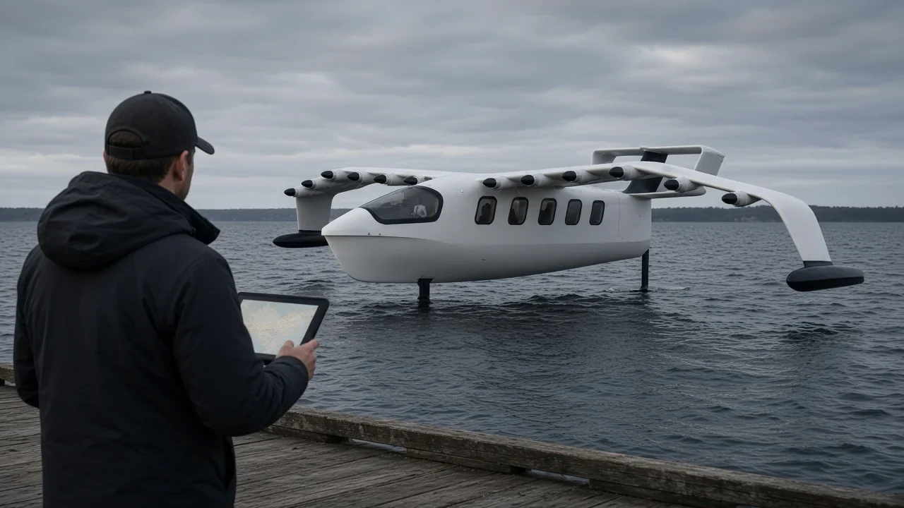
For REGENT, DS2 is developing SQUIRE-TAK software so Squire operations can use TAK as a mission-creation and mission-awareness environment. Priority capabilities include waypoint route planning, vehicle system information, video feed integration, and vehicle control — delivered in the TAK clients operators already use.
Illustration — electric seaglider (hull, high wing, T-tail) for REGENT SQUIRE-TAK planning and awareness in TAK (not a customer photo).
Waypoints
Waypoint route planning in TAK
Telemetry
Vehicle telemetry and system status on the COP
Video
Video integration for mission SA
Vehicle C2
Vehicle control paths aligned with TAK workflows

RELATED
Related TAK mission workflows
Other TAK work that supports planning and mission execution on the COP includes:
Autonomous underwater vehicle — related mission-command plugin work on ATAK.
- VATN — ATAK plugin for mission load, command and status on an autonomous underwater system
- Nauticus — ATAK plug-in and TAK Server module for vessel telemetry and mission terminate
- EOD / ADR — ATAK plugin for field UXO mitigation workflows tied into the airfield recovery picture
- ASI — ATAK and TAKX plugins that put direction-finding and geolocation features on the map for mission decisions
ENGAGEMENT
How we engage
- Define the planning objects (waypoints, routes, orders, status)
- Choose the TAK client or Server plugin surface
- Prototype on real CoT and operator UI
- Harden for demonstration and fielding
Engage DS2
Bring the planning objects, the TAK surface, and the mission outcome. We will scope the plugin and build for the operator.