top of page
Banner_Geospatial.jpg

Geospatial Services

ESRI Business Partner and Autodesk Authorized Developer

DS2 specializes in the full range of geospatial solutions development by integrating hardware, software, and data essential to the analysis and display of geospatial information. All of our GIS developers have extensive involvement with geospatially enabled applications and architectures based on Environmental Systems Research Institute (ESRI), Autodesk, and open-source platforms and data as well as the design and development of cross-platform geospatial databases. Our GIS engineers can readily automate business processes using geospatial technology to create and deploy GIS datasets, maps, and geoprocessing tools to build applications in the cloud, server, desktop, and mobile environments.

Image by Austin Distel
Image by USGS

Geospatial Services

THE LATEST IN 2D AND 3D GEOSPATIAL TECHNOLOGY

Geographic Information Systems (GIS) integrates the hardware, software, and data that assist in the analysis and display of geospatial information. GIS systems are designed for capturing, managing, and analyzing all forms of geographical data. DS2 has experienced GIS developers and analysts who can assist you in defining the geographic scope of your project and assist in the collection of data to enhance your GIS applications.​

​

DS2 can provide help with all of your GIS needs including:

​

  • GIS project management and oversight
     

  • Geospatial data collection and analysis
     

  • Enterprise geodatabase support
     

  • Developing custom 3D models
     

  • Developing custom geoprocessing tools and extensions
     

  • Designing and developing custom GIS software for the enterprise, desktop, and mobile platforms

ESRI Authorized Business Partner
Autodesk Authorized Developer
Image by José Martín Ramírez Carrasco

GIS Software Development

THE POWER OF MAPS

There are many powerful frameworks for creating GIS applications. Some of the most popular are provided by commercial vendors such as ESRI and Autodesk. In addition, there are several open-source frameworks for both the desktop and web environments.

​

At DS2, we have a close working relationship with both ESRI and Autodesk. Our GIS developers can create and deploy GIS data, maps, geoprocessing scripts, and applications in the server, desktop, and mobile environments using application programming interfaces (APIs) for .NET and Java.

​

We have extensive experience with ESRI products and frameworks, as well as Autodesk software to provide applications with access to CAD and GIS data for planning, design, and data management:

​​

  • ArcGIS for Desktop (Basic, Standard, Advanced) - ArcObjects for custom Windows based applications, ArcGIS API for WPF
     

  • ArcGIS Web APIs - ArcGIS API for JavaScript, ArcGIS API for Silverlight
     

  • ArcGIS for Server - Installation and configuration, Map Services and Geoprocessing tools, Frameworks for creating Web applications
    ​

  • ArcGIS Mobile - ArcGIS for iOS, ArcGIS for Android, ArcGIS for Windows Phone, ArcPad
     

  • ArcGIS Engine - Embed and run GIS components in software application
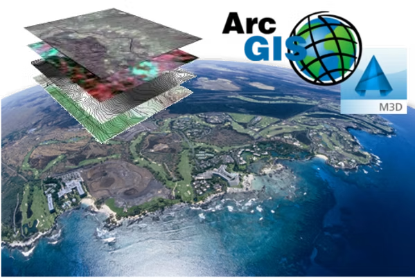
     

  • AutoCAD Map 3D
     

  • Infrastructure Map Server
     

  • Autodesk Industry Model

ArcGIS Custom Application Developer
ArcGIS Custom Software Developer

Innovate with Us

Prepare for tomorrow by beginning your custom software solution journey today.

bottom of page